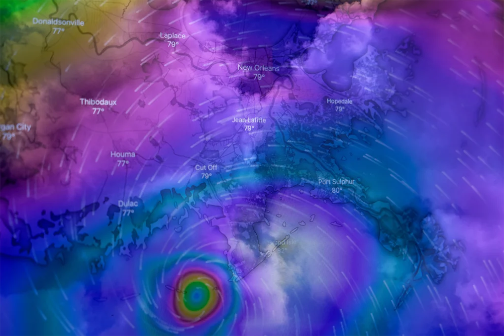
Sunford City is like any other town in the U.K. Sitting in the country’s East Anglia region, it could be argued it’s more susceptible to flooding than the average town. A mix of less-than-perfect resiliency measures and a low-lying geographical location meant residents were already wary of potential outcomes when Sunford was hit by a high-intensity storm this summer.
Years of debates over the town’s preparedness for these events have since flown out the window amidst reports of once-in-a-lifetime flood damage. These circumstances have puzzled relief efforts from surrounding municipalities. The chaos and disarray that followed Storm Ruby have made life difficult for residents like Arthur, a retiree left to deal with a flooding basement alone after outages prevented contact with nearby family members.
The good news is that the plight of Arthur and the greater Sunford City is completely made up. Storm Ruby never existed in the first place, and neither did the town or any of its residents.
This scenario represents our “digital twins,” a concept that denotes a bit of a lifting-off point for many public and private organizations as they use increasingly advanced artificial intelligence (AI) to model severe weather outcomes on a city-wide level.
Sunford City is a pilot demonstration of the capabilities of the U.K. government-backed Climate Resilience Demonstrator (CReDo). The technology is a new-age mix of virtual duplications of real-life assets (e.g., buildings, trees, etc.) and machine learning to give local governments a more accurate estimate of future storms’ impact on a city and its residents.
A short film was featured at the COP26 international climate readiness conference in 2021, relaying to attendees how local weatherization measures can dictate the safety of everyday people. The film accompanied the launch of a free interactive app that puts the made-up city at the public’s fingertips using the CReDo model.
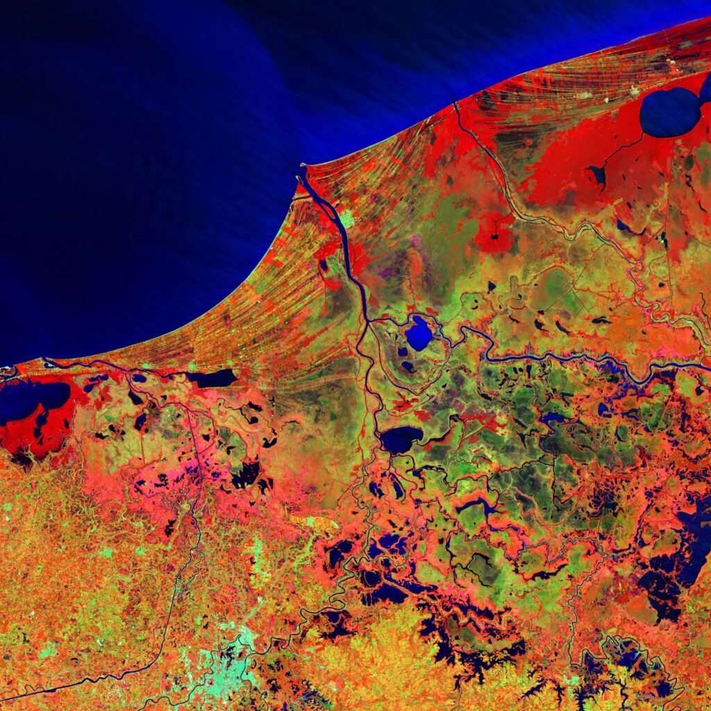
A cursory glance at the screen shows a satellite view of the East Anglian town dotted with colorful icons denoting essential strategic resources like power stations, phone lines, water hubs, and sewage sites. Users can change the dimensional display, layering, and several other quality-of-life options and put Sunford City through a few different scenarios.
The apparent end goal would be to implement these concepts beyond the hypothetical to facilitate real-world choices made by those in charge of disaster prevention and subsequent recovery efforts.
“If you tailor the information that comes out of the twins to the needs of a decision-maker and they see that this is actionable for them, it leads to action,” says Wilco Hazeleger, who works as dean of the geosciences faculty at the Netherlands’ Utrecht University.
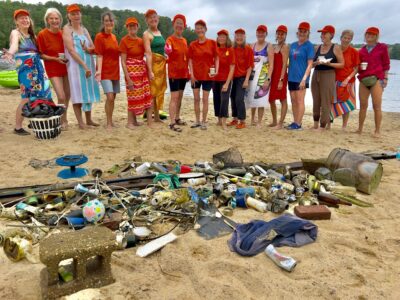
This need will only increase as extreme weather events become more common. According to an analysis by S&P Global, as many as 90% of the world’s companies will have major assets significantly exposed to climate effects.

The U.K.’s CReDo is one of several “digital twin” ventures beginning to materialize. The European Commission has also announced the Destination Earth Initiative. The program will consult with European Union space and weather forecasting agencies to build a highly accurate AI-driven model for the entire planet.
Open Climate Fix is a nonprofit that uses AI to mitigate emissions through a weather model that optimizes solar panel production. Though the organization uses what has been referred to as a digital twin, co-founder Dan Travers is not a fan of the label, arguing that it is simply a progression of traditional modeling sciences.